There are a wealth of historic houses
and gardens within close proximity to Bunclody including:
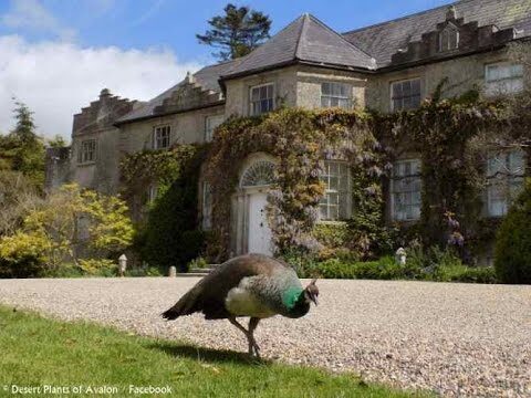
- Newtownbarry House
- Altamount Gardens
- Huntington Castle
- Borris Castle
- Lucy’s Wood Garden
- Tombrick Gardens
These gardens are members of either the Wexford or Carlow Garden Trails that are widely publicised nationally through websites or in brochures. It was recognised that because Bunclody is located on the border between Co. Carlow and Co. Wexford, visitors are not always aware of the gardens in close proximity to the Town.
It was felt very important that all of these attractions should be jointly publicised to visitors who are staying in Bunclody or the neighboring area.
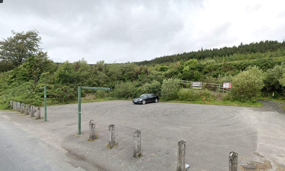
| Name of Trail | Kilbrannish Loop |
| Trailhead | Kilbrannish Car Park |
| GPS Co-ordinates | 52.6564606 -6.7545627 |
| Google Map Link | https://goo.gl/maps/1MiuAsTdWoEctWCe6 |
| Distance / Time | 5km 1hr 30min |
| Grade | Easy |
| Ascent | 310m |
| Terrain | Forest Trail |
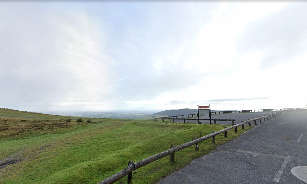
| Name of Trail | Mt Leinster ( 9 Stones Car Park ) |
| Trailhead | Open Mountain No Trailhead |
| GPS Co-ordinates | 52.63726927530189, -6.793461471164923 |
| Google Map Link | https://goo.gl/maps/RA5vwbfdeGivE8ZH8– |
| Distance / Time | |
| Grade | – |
| Ascent | – |
| Terrain | – |
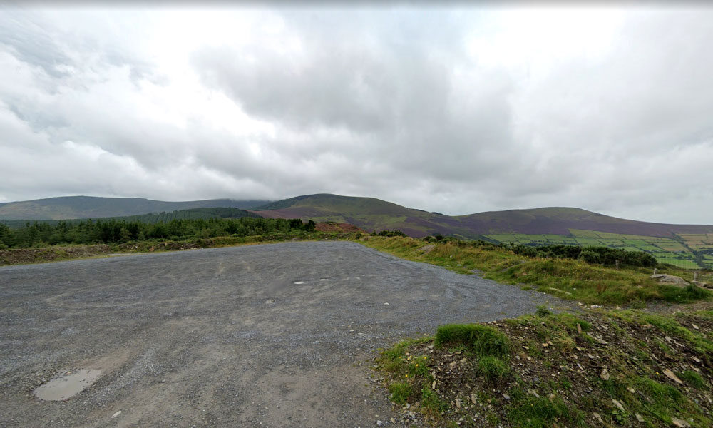
| Name of Trail | Kilbrannish South Forest ( Green ) |
| Trailhead | Corraby Gap |
| GPS Co-ordinates | 52.6558283 -6.7701055 |
| Google Map Link | https://goo.gl/maps/zThNJQMAgkG4dema7 |
| Distance / Time | 9.5 km 3hr |
| Grade | Moderate (Medium Loop) |
| Ascent | 382m |
| Terrain | Road / Forest Trail |
| Name of Trail | Kilbrannish South Forest ( Red ) |
| Trailhead | Corraby Gap |
| GPS Co-ordinates | 52.6558283 -6.7701055 |
| Google Map Link | https://goo.gl/maps/zThNJQMAgkG4dema7 |
| Distance / Time | 6.5m 2hr |
| Grade | Moderate (Short Loop) |
| Ascent | 382m |
| Terrain | Road / Forest Trail |
| Name of Trail | Kilbrannish South Forest ( Blue ) |
| Trailhead | Corraby Gap |
| GPS Co-ordinates | 52.6558283 -6.7701055 |
| Google Map Link | https://goo.gl/maps/zThNJQMAgkG4dema7 |
| Distance / Time | 10.5km 3hr 10min |
| Grade | Strenuous (Long Loop) |
| Ascent | 382m |
| Terrain | Road / Forest Trail |
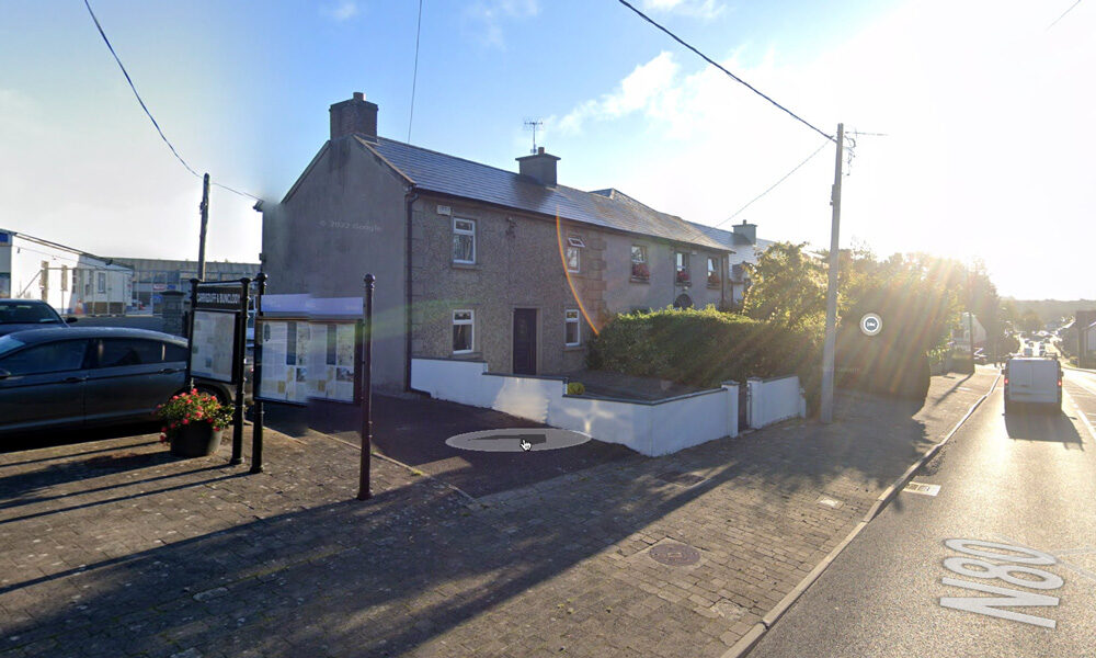
Bunclody Town has a rich heritage and it was felt that this could be further promoted. It was also recognised that there is a need to provide in-door facilities so that visitors have things to do when the weather is inclement. Some suggestions included a historical Museum. This could possibly be located in one of the vacant buildings in the Town. This could include a photographic exhibition and artefacts representing Bunclody’s history. Reference was made to ‘Enniscorthy Castle’ and how successfully this has promoted Enniscorthy’s heritage. Another excellent example is the ‘St Conall’s Museum and Heritage Centre’ in a small village called Glenties, County Donegal. According to the Rough Guide of Ireland it is one of the best small-Town museums in the country and displays much material of local interest, focusing on wildlife, Donegal’s railways, antiquities, and the effects of the Great Famine. It also holds a Summer School in late July, attracting hundreds of people to its exhibitions, seminars and literary debates.
It was acknowledged that the Blackstairs Mountains have huge tourism potential which is currently under-developed and not promoted significantly either within the Town or to the domestic / international visitor. It was felt that there is considerable scope to offer 1 day tours using a mini bus or through a business model like Hook Safari that operates on the Hook Peninsula.
| Name of Trail | Long Lane |
| Trailhead | Market Square Bunclody |
| GPS Co-ordinates | 52.6555435 -6.6513263 |
| Google Map Link | https://goo.gl/maps/Q2oFK3nYbgfrzzwv9 |
| Distance / Time | 8 km 2hrs |
| Grade | Moderate |
| Ascent | 31m |
| Terrain | Country Roads |
| Name of Trail | Columbanus Way |
| Trailhead | Tirlan Carrickduff Bunclody |
| GPS Co-ordinates | 52.6569408 -6.6578714 |
| Google Map Link | https://goo.gl/maps/QKwgd3UQqj4WdA1YA |
| Distance / Time | 13km 3hrs |
| Grade | Moderate |
| Ascent | 112m |
| Terrain | Roads/ Forest Trail |
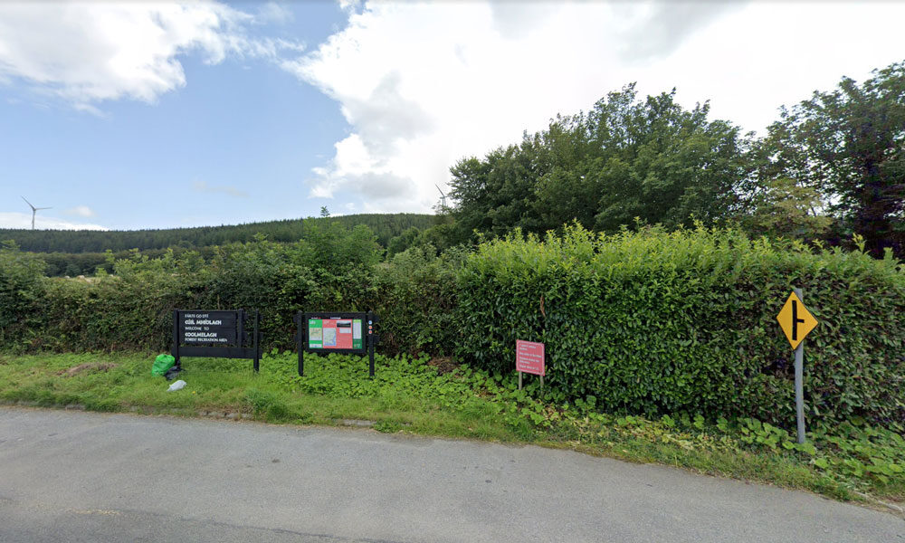
| Name of Trail | Prospect Loop ( Blue ) |
| Trailhead | Coolmelagh |
| GPS Co-ordinates | 52.68636 – 6.57963 |
| Google Map Link | https://goo.gl/maps/fPmp6kTXA95JLVPy9 |
| Distance / Time | 5.4 km 1hr 30min |
| Grade | Easy |
| Ascent | 140m |
| Terrain | Forest Trail |
| Name of Trail | Craan Lane |
| Trailhead | Market Square Bunclody |
| GPS Co-ordinates | 52.6555435 -6.6513263 |
| Google Map Link | https://goo.gl/maps/Q2oFK3nYbgfrzzwv9 |
| Distance / Time | 15 km 3-4hrs |
| Grade | Moderate |
| Ascent | 31m |
| Terrain | Country Roads |
| Name of Trail | Coolmelagh (Red) |
| Trailhead | Coolmelagh |
| GPS Co-ordinates | 52.68615 – 6.57963 |
| Google Map Link | https://goo.gl/maps/YaQrTMzL8SnWrJpL7 |
| Distance / Time | 13.3km 3hrs |
| Grade | Moderate |
| Ascent | 280m |
| Terrain | Forest Trail |
| Name of Trail | South Leinster Way |
| Trailhead | Kildavin/Carlow |
| GPS Co-ordinates | 52.68360 – 6.68477 |
| Google Map Link | https://goo.gl/maps/artip6EhzBfKK87XA |
| Distance / Time | 102 km |
| Grade | Long distance Linear walk |
| Ascent | |
| Terrain | Roads/ Forest Trail |
| Name of Trail | Wicklow Way |
| Trailhead | Clonegal/Carlow |
| GPS Co-ordinates | 52.69553104308368, -6.64839482900732 |
| Google Map Link | https://goo.gl/maps/aW3fxv7PoW4MYR277 |
| Distance / Time | 132 km |
| Grade | Long distance Linear walk |
| Ascent | 133m |
| Terrain | Roads/ Forest Trail |
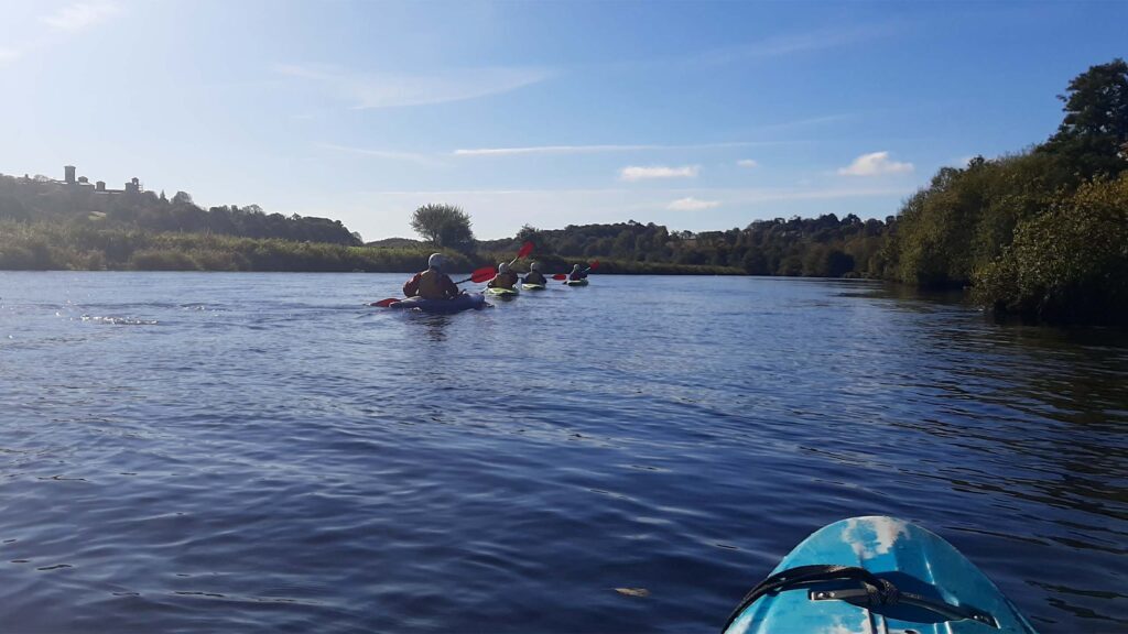
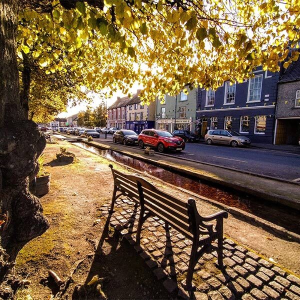
The river Slaney runs through the Town of Bunclody and is a very attractive natural asset for the Town.
“Until the late 1960s, the Slaney was perhaps the primary Irish spring salmon river and one of the best in Europe, but since then has seen a serious decline in the number of fish running the river to the extent that the river had to be closed for a number of years and is now catch and release only as stock levels are below conservation limits.” (www.slaneyrivertrust.ie).
There was uncertainty around fishing licences and where people are allowed to fish on the river Slaney. It was thought that there is a catch and release policy in place and that licences can be obtained locally.
Fishing is a potentially attractive tourist facility that could be offered in the area however, further research is required to ascertain on what basis it could be made available to visitors staying in the Town.
There are also fishing opportunities for tourists in Enniscorthy and due to the close proximity between the two Towns this could very easily be promoted as a half day / full day activity for those staying in Bunclody. There is free fishing downstream of Enniscorthy Bridge and there are good stocks of brown trout on the river Slaney.
Other opportunities to utilise the river was discussed and it was thought that watersports including kayaking could be developed. However, in the short term utilising existing established organisations would be most effective. There is the Tullow Kayak Club that offers training sessions and river trips for children and adults. There is also a company called Slaney Adventure which offers kayak trips to those on holiday in the area or summer camps for children aged 8 to 17 years of age.
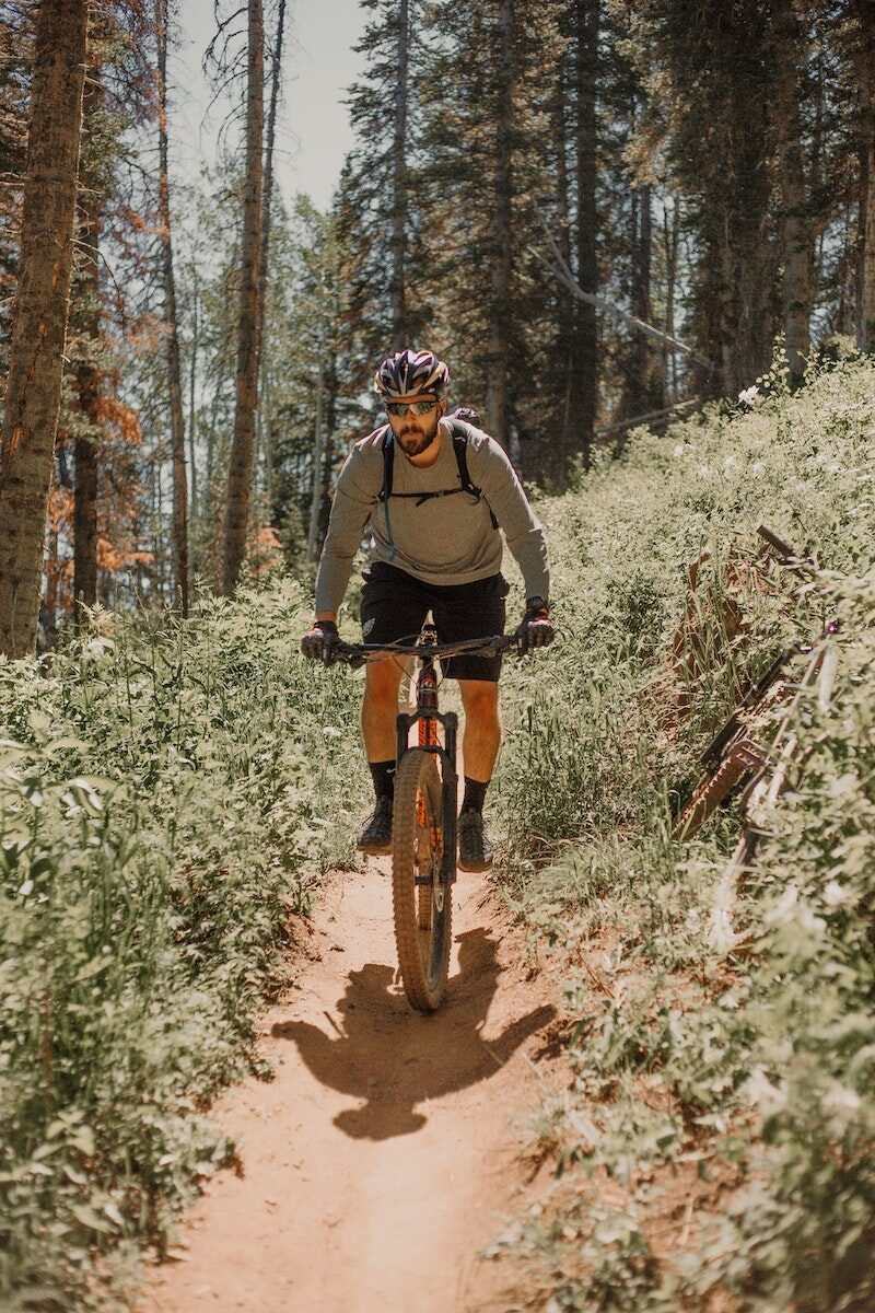
Mountain Bike Trails:
There is an interest in developing mountain bike trails in the area. The mountain bike model in Ballyhoura, County Limerick was discussed and it was felt that this is a model that Bunclody could explore further to examine if it is possible to replicate in this locality. It is our understanding that this was developed as a joint venture between Ballyhoura Development and Fáilte Ireland and approximately 92 km were built on Coillte property with their permission.
However, if these are developed on land owned by Coillte, it is imperative that discussions take place with them initially to identify if this is compatible with their national strategy on ‘Off-Road Cycling, 2012’.
However, it is recognised in the Coillte report that mountain bike club activity is currently taking place in Deerpark / Kilbrannish at a moderate to high usage level. This mountain bike trail is promoted on the Trailbadger website and it profiles the facilities and a movie depicting features of the trail.
The cost of further developing these mountain bike trails is significant however, as substantial investment was required to develop the Ballyhoura mountain bike model on Coillte property. An alternative possibility for mountain bike related tourism could focus on private, commercial ‘trail centres’ which have become very popular in the UK in recent years, especially in Scotland and Wales. One such centre has opened in Ireland, near Roscrea, County Tipperary called ‘Bike Park Ireland’ which appears to be quite successful.
Racing 795 is a Mountain Biking and Triathlon club that involves cyclists, runners, swimmers and adventurers. Racing 795 was formed in 2008 with a mission to promote participation at all levels of triathlon and mountain biking in a friendly, supportive and enjoyable environment. The membership currently stands at around 50, mostly drawn from north Wexford and south Carlow. Competition and personal improvement is encouraged and their base is in Bunclody. Opportunities to develop tourism events in conjunction with this Club could be explored.

This recently launched walk takes you through pine and beech forests up to the summit of Gibbet Hill. A number of places on this hill you’ll notice some fine stone walls made out of flattish pieces of rock. In the eighteenth century there was a slate quarry on the hill. In early May expect to see a carpet of bluebells, thriving quietly away beneath the beech trees.
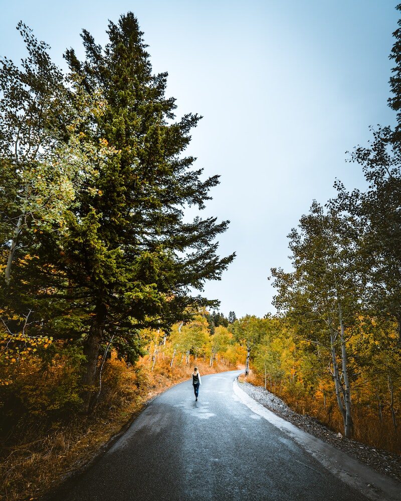
Walking:
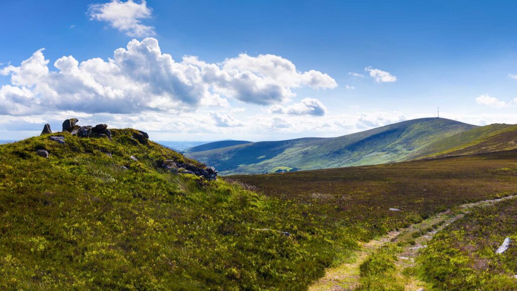
Bunclody is surrounded by mountains which are easily accessible from the Town. WLD has delivered a series of walking trail training programmes over the last 18 months involving 16 communities around the county including Bunclody. There are a series of well-developed walks near Bunclody including Kilbrannish Loop; Coolmelagh Loop and Mount Leinster.
Bunclody is also situated just 5 km from the end of the Wicklow Way in Clonegal. This is a popular long distance walking trail over 127 km long which continues up to South Dublin. There is also the South Leinster Way that starts near Bunclody and this is a long distance walking route which runs from Kildavin, Co. Carlow to Carrick-on-Suir in Co. Tipperary covering 102 km in length. The predominant features in the landscape are Mount Leinster, Brandon Hill and the river valleys of the Barrow, Nore and Suir.
It was recognised that walking trails are one of the Town’s major tourist assets which are currently under-developed. It was felt there was scope to develop these further through advancing new trails; more promotion of the existing trails and also encouraging guided walking trails. There is a company called Blackstairs Eco Trails, based in Borris which offers Eco Trails, Guided Hikes, Workshops, Foraging, Foraging Hen Events, Teachers Courses, School Visits, Childrens’ Trails and Fun in the Wild. Links could be developed with this company to identify if guided walking tours could be made available to visitors staying in Bunclody. Annual events could also be designed around foraging or other eco themes.